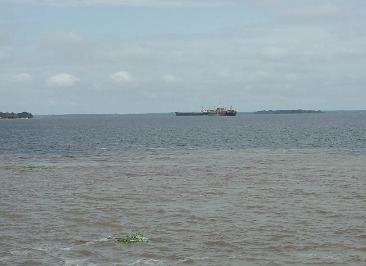
The Amazon near Manaus
A stream is a body of water with a detectable current, confined within a bed and banks. Stream is also an umbrella term used in the scientific community for all flowing natural waters, regardless of size.
The study of streams and waterways in general is known as surface hydrology and is important in environmental geography or environmental geology.
Types of streams[]

An Australian creek.
- River
- A large natural stream, which may be a waterway.
- Creek (North America and Australia)
- A small natural stream. Rarely navigable and may be intermittent. Often pronounced "crick".
- Creek (UK and India)
- A tidal inlet, typically in a saltmarsh or mangrove swamp. Alternatively, between enclosed and drained, former saltmarshes or swamps. In these cases, the stream is the tidal stream, the course of the sea-water through the creek channel on each of the flood and ebb.
- Tributary
- A contributory stream, or a stream that does not reach the sea but joins another river (a parent river). Sometimes also called a branch or fork.
- Brook
- A stream smaller than a creek, especially one that is fed by a spring or seep. It is usually small and easily forded.

Small river in rural Indiana. Rivers of this size are often referred to as a "creek."

A brook in the Bay of Fundy, Nova Scotia
Other names for streams[]
In the United Kingdom, there are several regional names for a stream:
- Beck is used in Yorkshire, Lancashire and Cumbria.
- Brook is used in the Midlands.
- Burn is used in Scotland and North East England.
- Stream is limited to Southern England.
In North America:
- Kill (stream) in New York and New Jersey comes from a Dutch language word, as in Peekskill (Peek's Kill), Fishkill (Fish Kill), and Fresh Kills.
- Branch, fork, or prong can refer to tributaries that share the same name as the main stream.
Parts of a stream[]
- Confluence
- The point at which the two streams merge. If the two tributaries are of approximately equal size, the confluence may be called a fork.
- Run
- A fairly smooth flowing segment of the stream.
- Pool
- A segment where the water is deeper and slower moving.
- Riffle
- A segment where the flow is shallower and more turbulent.
- Source
- The spring from which the stream originates or other point of origin of a stream.
- Headwater
- The part of a stream or river close to its source. The word is commonly used in the plural where there is no single point source.
- Channel
- A depression created by constant erosion, that carries the stream's flow.
- Floodplain
- Flatlands on either side of the stream that are subject to seasonal flooding.
- bed
- The bottom of the stream.
- Mouth
- The point at which the stream discharges, possibly via an estuary or delta, into a static body of water such as a lake or ocean.
- Thalweg
- The river's longitudinal section, or the line joining the deepest point in the channel at each stage from source to mouth.
- Wetted perimeter
- The line on which the stream's surface meets the channel walls.
- Spring
- The point at which a stream emerges from an underground course through unconsolidated sediments or through caves. A stream can, especially with caves, flow aboveground for part of its course, and underground for part of its course.
- Waterfall or cascade
- The fall of water where the stream goes over a sudden drop called a nickpoint; some nickpoints are formed by erosion when water flows over an especially resistant stratum, followed by one less so. The stream expends kinetic energy in "trying" to eliminate the nickpoint.
Characteristics of streams[]

Low Australian Creek
- Ranking
- Streams in geographic terms are awarded order designations. A stream of the first order is a blue-line stream which does not have any other blue-line stream feeding into it. A stream of the second order is one which is formed by the joining of two or more blue-line streams. A third-order stream is one below the confluence of two or more second-order streams; a fourth-order stream is formed by the confluence of at least two third-order streams, and so forth.
- Gradient
- The gradient of a stream is a critical factor in determining its character, and is entirely determined by its base level of erosion. The base level of erosion is the point at which the stream either enters the ocean, a lake or pond, or enters a stretch in which it has a much lower gradient, and may be specifically applied to any particular stretch of a stream.
- In geologic terms, the stream will erode down through its bed to achieve the base level of erosion throughout its course. If this base level is low, then the stream will rapidly cut through underlying strata and have a steep gradient, and if the base level is relatively high, then the stream will form a flood plain and meanders.
- Meander
- Meanders are looping changes of direction of a stream caused by the erosion and deposition of bank materials. These may be somewhat sine-wave in form. Typically, over time, the meanders don't disappear but gradually migrate downstream.
- If some resistant material slows or stops the downstream movement of a meander, a stream may erode through the neck between two legs of a meander to become temporarily straighter, leaving behind an arc-shaped body of water termed an oxbow lake or bayou. A flood may also result in a meander being cut through in this way.
- Profile
- Typically, streams are said to have a particular profile, beginning with steep gradients, no flood plain, and little shifting of channels, eventually evolving into streams with low gradients, wide flood plains, and extensive meanders. The initial stage is sometimes termed a "young" stream, and the later state a "mature" or "old" stream. However, a stream may meander for some distance before falling into a "young" stream condition.
Basins vary in their storage capacity and drainage efficiency, the ability to absorb water then gradually release it to stream flow. Streams in basins with little capacity to store water are dependent for flow on precipitation, which varies, and may be seasonal. Streams in basins which great storage capacity will have more uniform flow as stored water is gradually released to the stream.[1]
Intermittent and ephemeral streams[]

An Australian creek, low in the dry season, carrying little water. The energetic flow of the stream had, in spate, moved finer sediment further downstream. There is a pool to lower right and a riffle to upper left of the photograph.
In the United States, an intermittent stream is one that only flows for part of the year and is marked on topographic maps with a line of blue dashes and dots. A wash or desert wash is normally a dry streambed in the deserts of the American Southwest which flows only after significant rainfall. Washes can fill up quickly during rains, and there may be a sudden torrent of water after a thunderstorm begins upstream, such as during monsoonal conditions. These flash floods often catch travellers by surprise.
A blue-line stream is one which flows for most or all of the year and is marked on topographic maps with a solid blue line. In Australia, an intermittent stream is usually called a creek, and marked on topographic maps with a dotted blue line.
Generally, streams that form only during and immediately after precipitation are termed ephemeral streams.
Changing course[]
During a flood a stream, particularly a depositing stream, may change course within its floodplain. A breach occurs in the streambank which allows the stream to flow in a new lower bed, leaving the old bed dry.
Basins[]
The entire watershed drained by a stream is termed the basin. Every watershed is made up of smaller watersheds, while most watersheds are parts of larger watersheds. For instance, the Continental Divide in North America divides the Atlantic Ocean watershed from the Pacific Ocean watershed, but the Atlantic Ocean watershed may be first divided into the Atlantic Ocean drainage and the Gulf of Mexico drainage. This delineation within the United States is termed the Eastern Continental Divide. The Gulf of Mexico watershed may be divided into Mississippi River basin and a number of smaller watersheds, such as the Tombigbee River Basin.
The Mississippi River Basin includes the Ohio River Basin, which in turn includes the Kentucky River Basin, and so forth.
See also[]
- Chalk stream
- Lake
- Marsh
- Ocean
- Swamp
Notes[]
- ↑ "Study: Climate change impact on stream flow varies by location" article by Canda Fuqua in the Corvallis Gazette-Times, February 19, 2013, report of a study, led by Mohammad Safeeq, an Oregon State University researcher published in the journal Hydrological Processes. "Coupling snowpack and groundwater dynamics to interpret historical streamflow trends in the western United States" Mohammad Safeeq, Gordon E. Grant, Sarah L. Lewis, and Christina. L. Tague, in Hydrological Processes, January 4, 2013, Doi:10.1002/hyp.9628 "summer streamflows are also sensitive to intrinsic, geologically mediated differences in the efficiency of landscapes in transforming recharge (either as rain or snow) into discharge; we term this latter factor drainage efficiency.
Adapted from the Wikipedia article, "Stream" http://en.wikipedia.org/wiki/Stream